Gisela Koch · 22 September 2026
Geographic Tools Reveal Aster Arrangements in Historic Landscapes
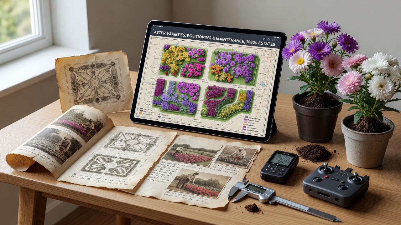
Geographic information systems now allow researchers to reconstruct the precise placement of aster varieties across estates and public gardens from earlier centuries, and these digital overlays combine old survey maps with satellite data to show how plants were arranged in relation to pathways, borders, and structures. Projects in multiple countries have applied LiDAR scans and GPS coordinates to faded estate plans, revealing that New England asters often occupied central beds while shorter cultivars lined outer edges in formal layouts from the 1800s. Data from these efforts indicate that maintenance patterns followed seasonal rotations, with asters shifted every three to five years to maintain soil nutrients according to period agricultural records.
Integration of Modern Mapping With Archival Records
Historians combine 19th-century estate surveys with contemporary GIS layers to trace aster positions, and this approach highlights how varieties such as Aster novae-angliae were clustered near water features for visual impact while drought-tolerant types sat on higher ground. One study from Canadian heritage archives demonstrates that public parks in Ontario placed asters in repeating geometric patterns during the Victorian era, patterns that become clear only after vector digitization aligns hand-drawn sketches with current elevation models. Researchers note that these reconstructions also expose irrigation channels that once supported the plants, channels now visible through soil moisture mapping conducted in 2025 field seasons.
European teams have applied similar methods at sites in Germany and the Netherlands, where 18th-century botanical gardens documented aster introductions from North America, and overlay analysis shows deliberate spacing of three feet between clumps to allow air circulation as recommended in contemporary horticultural manuals. As of September 2026, an ongoing collaboration between Australian landscape archaeologists and North American botanic gardens continues to expand these datasets with drone imagery that fills gaps in older aerial photographs.
Case Examples From Estates and Public Spaces
At one restored American estate in the Hudson Valley, GIS mapping confirmed that asters formed a transitional zone between formal parterres and naturalistic woodland edges, a placement that matched both surviving plant lists and soil core samples containing aster pollen. Observers note that public parks in Boston used similar zoning in the early 1900s, with taller cultivars positioned to screen service areas while lower-growing types accented walkways. These patterns emerge consistently across digitized records from multiple institutions, allowing direct comparison of maintenance practices between private and municipal settings.

According to reports from the National Park Service, such mapping has helped restoration crews at historic sites recreate original bed shapes without disturbing remaining root systems. In parallel work, researchers at the University of Melbourne have published findings on how southern hemisphere gardens adapted northern aster varieties to local climates, and their spatial models show adjustments in spacing that accounted for higher rainfall totals.
Maintenance Practices Uncovered Through Spatial Analysis
Digital elevation models combined with historical weather data reveal that gardeners sited asters on slopes with specific aspects to extend bloom periods, a technique documented in estate journals from the 1870s onward. Soil sampling tied to these mapped locations indicates repeated applications of compost in circular patterns around each plant, practices that left detectable nutrient gradients still measurable today. Experts have observed that public spaces often employed wider spacing than private estates, likely due to higher foot traffic and the need for easier weeding access.
Further analysis of municipal records shows that asters in city parks received more frequent division every second year, while estate plantings allowed clumps to mature for longer intervals before relocation. These differences appear in the spatial distribution patterns recovered through GIS, where denser clusters correlate with sites that had dedicated horticultural staff.
Conclusion
Mapping historic garden layouts with geographic tools continues to supply concrete evidence about aster positioning and care across past estates and public grounds, and the accumulating datasets support more accurate restorations while preserving original design intent. Projects active into 2026 demonstrate how layered digital records connect archival evidence with physical site conditions, producing a clearer picture of how these plants contributed to landscape composition in earlier periods.